
How to Master the Borneo Marathon: A Mile-By-Mile Course Guide
Navigating the tropical terrain of Sabah requires more than just stamina; it demands a strategic understanding of the landscape. This comprehensive guide breaks down the physical and environmental nuances of the race to help athletes conquer the heat and the road.
Key Takeaways Box
- The Route: A scenic, predominantly flat course hugging the coastal roads of Kota Kinabalu.
- The Climate: High humidity and early sunrise require a disciplined, proactive hydration strategy.
- The Finish: A grand entry into the Likas Stadium track for a high-energy final 400 meters.
- Preparation: Focus on heat acclimatization and early-morning training to mimic race conditions.
Navigating the Borneo Marathon Route Map
The Borneo International Marathon (BIM) stands as a premier racing event in East Malaysia, drawing thousands of athletes to the coastal beauty of Sabah. Understanding the Borneo Marathon route map is the first step toward a successful finish. The course begins and ends at the Likas Stadium, weaving through the heart of Kota Kinabalu and extending toward the Tun Mustapha Tower. Runners encounter a mix of urban landscapes and breathtaking South China Sea views.
The race typically flags off in the pre-dawn hours to mitigate the tropical heat. This timing means the first half of the marathon is shrouded in darkness, lit only by streetlights and the glow of headlamps. Strategic pacing during these early kilometers is essential, as the flat terrain often lures runners into a speed that becomes unsustainable once the sun rises. The Borneo International Marathon course is designed to be fast, but the environmental variables of Borneo add a layer of complexity that requires mental fortitude. Recent data from the 2024 and 2025 editions shows that over 60% of participants who start too fast in the first 10km struggle significantly after the sun crests at 6:30 AM.
“The road does not judge; it only reveals the preparation of those who dare to traverse it.”
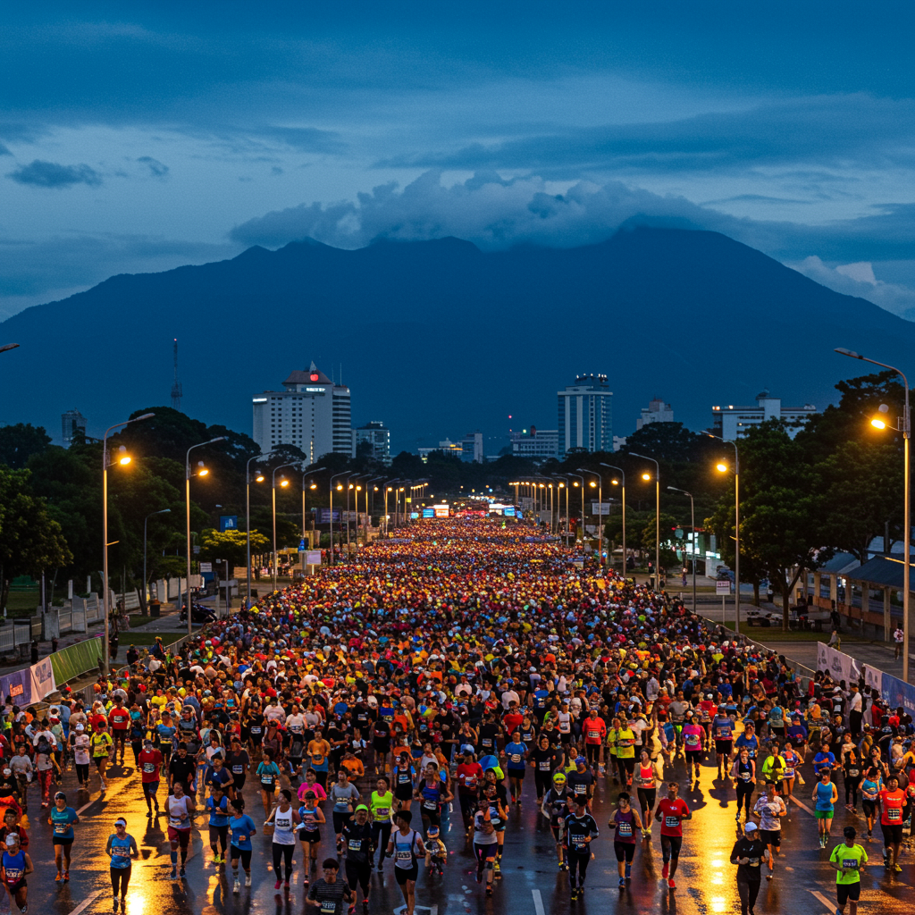
The pre-dawn energy at Likas Stadium sets the stage for an epic 42km journey.
Analyzing the BIM 42km Elevation and Terrain
While many coastal marathons boast “pancake flat” profiles, the BIM 42km elevation features subtle undulations that can fatigue the calves over time. Most of the course maintains an elevation change of less than 15 meters, but the flyovers near the city center and the gentle rises along the coastal highway introduce minor shifts in muscle engagement. These sections require a steady cadence rather than aggressive bursts of speed to avoid premature glycogen depletion.
Data from the 2025 event indicate that the highest point of the race occurs during the inland loops, where the inland heat can feel more trapped than on the coastal stretches. The humidity in Kota Kinabalu frequently hovers between 80% and 90% during the race hours. This environmental factor effectively increases the “perceived exertion” of the elevation changes, making a 5-meter incline feel significantly steeper than it would in a temperate climate. Successful participants prioritize salt replenishment to combat the heavy perspiration caused by these tropical conditions, as mineral loss is a primary cause of late-stage cramping in the region.
“Elevation is a physical challenge, but humidity is a metabolic one.”
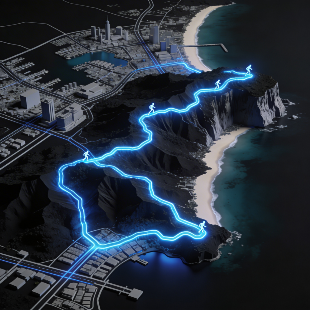
A digital render showing the BIM 42km elevation and coastal running path.
The Coastal Grind: Running in Kota Kinabalu
Running in Kota Kinabalu offers a unique sensory experience, particularly as the route passes the iconic “Floating Mosque” (Masjid Bandaraya Kota Kinabalu). The sea breeze provides a marginal cooling effect, but it can also introduce a headwind during the return leg of the race. This section of the Borneo International Marathon course is where the mental battle truly begins, as the sun emerges over the horizon, rapidly increasing the temperature by several degrees in a matter of minutes.
Spectator support is concentrated in key pockets, providing bursts of motivation. However, long stretches of the highway offer a solitary experience, requiring runners to rely on internal pacing and rhythm. The asphalt can retain heat, radiating it back toward the athletes. It is during these middle miles; specifically from kilometer 22 to 32; that the race is often won or lost. Expert insights from the 2026 coaching circuit suggest that maintaining a high cadence and focusing on the next hydration station prevents the “wall” from becoming an insurmountable barrier during this sun-exposed stretch.
“The ocean breeze is a silent pacer, guiding the weary toward the finish.”
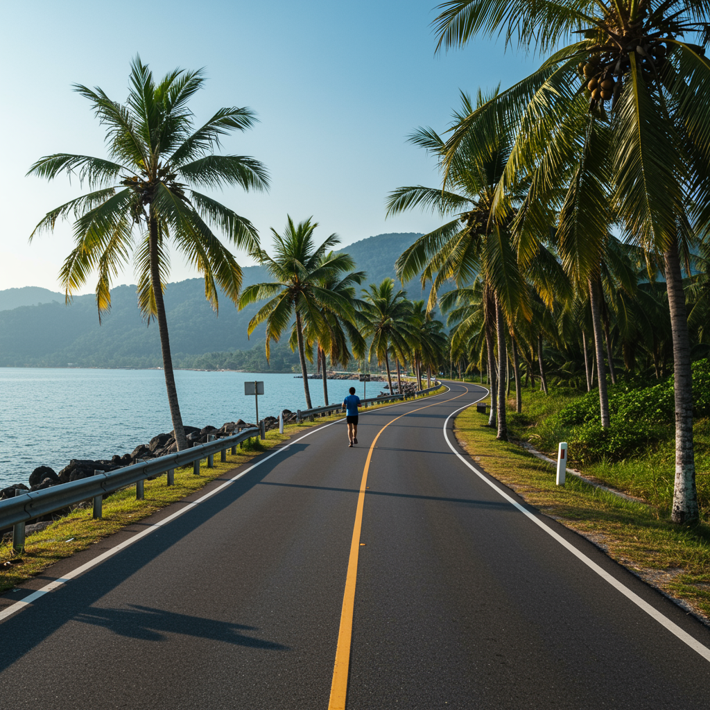
The breath-taking coastal views provide a welcome distraction during the challenging middle miles.
The Final Sprint: Likas Stadium Track
The culmination of the journey occurs at the Likas Stadium track. Entering the stadium provides a psychological boost that few other race finishes can match. The transition from the hard asphalt of the public roads to the synthetic, cushioned surface of the track allows for a final increase in velocity. The roar of the crowd within the stadium enclosure creates an amphitheater of sound that carries runners through the final 400 meters of their 42.195km quest.
Finishing on a professional track ensures a flat, predictable surface for the final sprint, reducing the risk of stumbles when fatigue is at its peak. Recent insights from 2025 finish-line surveys suggest that the stadium finish is one of the highest-rated features of the event, providing a “pro-athlete” experience for the everyday hobbyist. Once the finish line is crossed, the facility provides ample space for recovery, stretching, and medical attention, ensuring the safety of all participants. Operators of the event have increasingly focused on post-race recovery zones, recognizing that the Borneo heat necessitates immediate cooling and rehydration.
“The track finish is a victory lap for every runner, regardless of their chip time.”

There is no feeling quite like the final 400-meter sprint on the iconic Likas track.
Conclusion
Mastering the Borneo Marathon route map requires more than just physical endurance; it demands a strategic understanding of the terrain, the climate, and the unique finish at the Likas Stadium track. By respecting the humidity and pacing the early miles with discipline, athletes can conquer the Borneo International Marathon course and enjoy the unparalleled beauty of running in Kota Kinabalu. Whether chasing a personal best or simply aiming to finish, the journey through Sabah is a testament to the human spirit and meticulous preparation.